UAS Surveys & Remotely Piloted Aircraft System (RPAS)
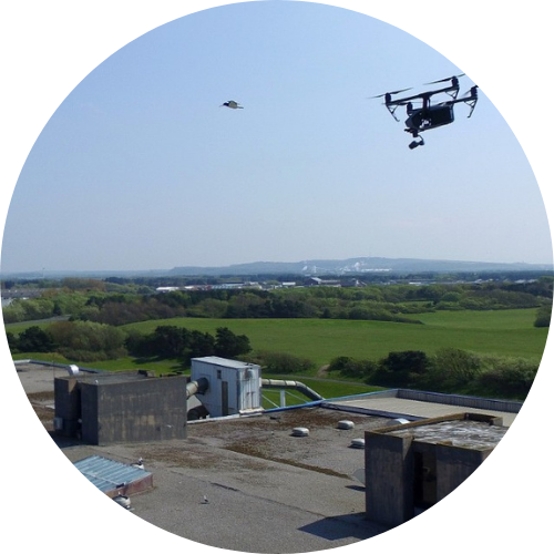
Remotely Piloted Aircraft System (RPAS) are increasingly being used across multiple disciplines, including the specialist field of surveying.
What is UAS?
Unmanned Aircraft System (UAS) Survey Aircraft commonly referred to as Drones, Unmanned Aerial Vehicles (UAV) or Remotely Piloted Aircraft System (RPAS) form part of a wider operating system that includes the aircraft, control station and data link. Collectively, these are known as an Unmanned Aircraft System (UAS) or Remotely Piloted Aerial System (RPAS).
For us, UAS technology expands our existing portfolio of professional survey equipment, allowing us to integrate aerial survey data collection seamlessly into our established surveying services.
As Chartered Surveyors, we deliver outputs that are highly accurate, reliable and repeatable, and can be combined with traditional survey techniques. This approach enhances our deliverables while maintaining the precision required for professional engineering design projects.

UAS Surveys
Professional Surveying
While many companies promote UAS surveys as a low-cost alternative to topographic surveys, this is a misconception. Inexperienced operators may produce outputs that are distorted, unreliable and unfit for purpose, potentially resulting in serious consequences for clients and their projects.
We pride ourselves on delivering UAS survey data that meets the high standards expected of professional surveyors.
UAS Surveys
Advanced UAS Survey Equipment
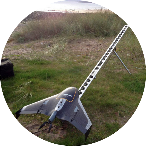
The company has been performing UAS surveys since 2014 and were the first company in Europe to purchase the Trimble UX5 HP Fixed Wing UAS, equipped with a 36MP camera and PPK positioning, we continue to invest in innovative aerial surveying technology. Our equipment enables us to offer a wide range of high-quality services, including:
- HD Video & Still Photography
- LiDAR & Photogrammetry Surveys
- 3D Digital Terrain & Surface Models (DSM & DTM etc)
- Vector Outputs (DWG, DXF & SHP etc)
- 3D Colour Point Clouds (*.las & *.xyz etc)
- Orthomosaics (GeoTIFF, TIFF & JPG etc)
This ensures our clients receive comprehensive, precise and visually rich datasets tailored to project needs.
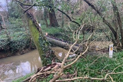
The use of a UAS allows us to survey areas which are inaccessible to personnel/vehicles and can provide a cost-effective solution where there is a requirement to survey large areas at a project feasibility stage. Specific extents where more detailed survey information is required can then be identified and the best approach to meet project requirements can be adopted. Examples of approaches available are:
Learn More about UAS Surveys
What CAA approval do we hold for UAS aerial survey operations?
The Civil Aviation Authority (CAA), have issued Aspect Land and Hydrographic Surveys Limited with a PDRA01 Operational Authorisation which permits us to conduct UAS aerial survey operations using multirotor and fixed-wing UAS weighing up to 25kg (Maximum Take-off Mass), flying up to 400ft above ground level, and operating within the 500m visual line of sight condition and limit imposed by the Civil Aviation Authority.
Our UAS aerial survey operations are carried out by fully qualified and competent remote pilots who have passed the General Visual Line of Sight (GVC) UAS course which allows our remote pilots to operate UAS in the Specific Category in conjunction with a PDRA01 Operational Authorisation issued by the CAA. In addition, all our remote pilots are in possession of a civil aviation authority flyer ID.. As part of this approval, we maintain a CAA approved PDRA01 Operations Manual, which outlines the mandatory procedures and processes ensuring legal compliance and safe flight operations.
How do we ensure safety, risk assessment and compliance?
Before any project begins, we conduct a detailed pre-flight planning and preparation desk study, to ensure regulation compliance, by conducting comprehensive risk assessments of the task and referencing sources such as:
• Current Relevant Aeronautical Charts
• Notams (Notices to Airmen)
• Meteorological Weather Forecasts
• Drone Assist Safety Apps
• Google Earth and Google Maps
•
No flight takes place unless conditions are fully safe and compliant.
What UAS Services do we provide?
• HD Video & Still Inspection Surveys
• Structural Mapping & Condition Surveys
• LiDAR Surveys
• Thermal & Multispectural Imagery
• Wide Area / Flood Risk Mapping
• Quarry, Mines & Landfill Surveys
• Renewable Energy Asset Inspections
• Urban Development & Infrastructure
• Ports & Harbours Infrastructure Surveys
• 3D Digital Twins

Discover our latest News & Media

Fire Resistance: Everything you wanted to know but were afraid to ask

Nature Positive Real Estate: Creating Value through Biodiversity

UKTC opens multi-million-pound state-of-the-art second firehall

Infinito Delicias. Building low-carbon spaces for communities to thrive

Mass Data Capture in Modern Surveying