Mass Data Capture in Modern Surveying
This Webinar has now passed...
Mass data capture is transforming how land, utility and infrastructure environments are surveyed. This session introduces the latest high‑efficiency techniques — from terrestrial laser scanning to mobile mapping and aerial drone LiDAR — and shows how these technologies deliver richer datasets, safer workflows and more accurate digital models.
The session will cover key foundational topics, including:
You’ll learn about:
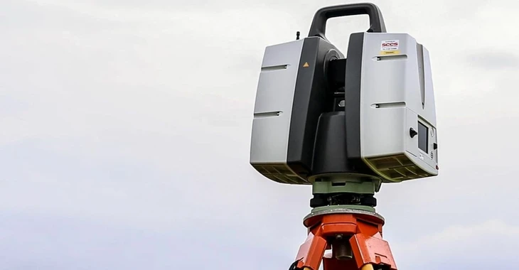
Laser scanning workflows — how 3D laser scanners collect millions of precise points per second and how these point clouds feed into Revit modelling.
Mobile mapping systems — vehicle‑mounted scanners, GNSS and IMU integration, and real‑world examples such as 16 km corridor surveys and PAS128 utility mapping.
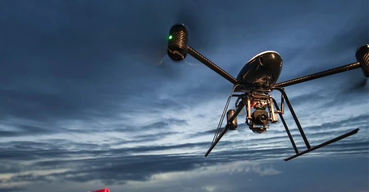
Aerial drone capture — photogrammetry, drone‑based LiDAR, and how combining drone data with total station observations enhances topographical detail.
Deliverables & LOD — from point clouds to Revit models, high‑detail outputs and how to select the right level of detail for your project.
Pros & limitations — efficiency, reduced site disruption, planning considerations and data‑management challenges.
Who should attend?
This webinar will appeal to a wide range of professionals involved in surveying, design and asset management. It is particularly relevant for surveyors, engineers and geomatics specialists looking to deepen their understanding of modern mass‑capture technologies, as well as project managers and asset owners who depend on accurate spatial data for planning, design and ongoing maintenance. It will also benefit architects, BIM coordinators and digital engineers working with point clouds, Revit models and high‑detail deliverables. More broadly, it is suited to anyone exploring how mass data capture improves efficiency and safety by reducing time on site, minimising disruption and enhancing overall project accuracy.
What can you expect?
- In-depth technical insights from a seasoned specialist
- Interactive Ask the Expert Q&A session
- Free access for all attendees
Got a question for our expert?
Email webinars.uk@socotec.co.uk to contact a member of our expert team.
Would you like to learn more about Mass Data Capture?
While You Wait for This Webinar...
Check out our services related to Surveying
Land & Utility Surveying
Our expert team utilises technology and proven methodologies to deliver precise data and insights, enabling informed decision-making for your projects.
As urban areas expand and infrastructure becomes more intricate, the complexity of underground utility networks increases, making accurate mapping and management challenging. This can lead to conflicts and inefficiencies during construction and maintenance.
The growing demand for precise land information puts pressure on surveyors and geospatial professionals to deliver high-quality data essential for efficient and safe project planning, design, and execution. Traditional survey methods can be disruptive, necessitating advanced, non-invasive techniques like ground-penetrating radar and remote sensing to minimise disturbances.