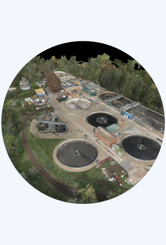
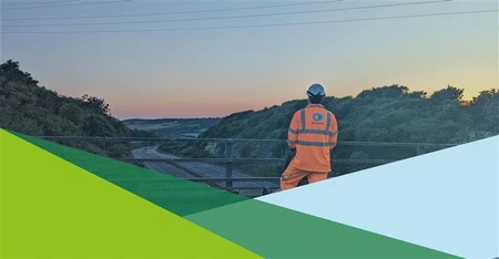
Aerial Survey Services
We offer advanced aerial surveying services that provide detailed topographical information for large-scale projects.
What are aerial surveys used for?
Using the latest technology, we capture extensive geographic data with 3D LiDAR and high-resolution orthophoto techniques.
Our services are perfect for road planning, airport projects, railway routing, and other initiatives that need comprehensive topographical data. We offer a variety of applications, including:
- 3D topographical photogrammetry and modelling surveys
- Route surveys for highways, pipelines, and overhead line routes (OHLs)
- Floodplain and coastline surveys
- Infrastructure inspection surveys
- Construction site progress videos

Talk to our experts

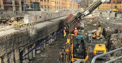
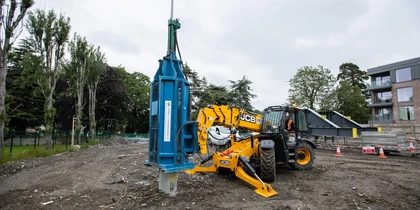
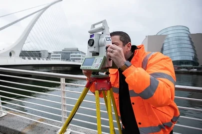
Our Methods
Aerial Surveying
Benefits
- Cost-effective: Aerial surveying is the most financially viable solution for capturing large-area topographical information.
- Rapid data collection: Our drones deliver extremely fast and efficient collection of survey data.
- Minimal access requirements: We can survey areas with little to no access needs, ideal for challenging terrains or restricted sites.
- Quick turnaround: Data can be processed and delivered promptly following capture.
- High accuracy: We use advanced technology and software to ensure precise and reliable results.
- Versatility: Suitable for various applications, from 3D topographical modelling to infrastructure inspection.

Check out our News & Media
News

SOCOTEC UK & Ireland Celebrates Double Success at the Ground Engineering Awards
Read +
SOCOTEC UK & Ireland Strengthens Infrastructure Capabilities with Strategic Acquisition of LSTC Group
Read +
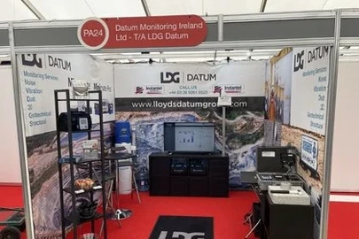
LDG Datum returns to Hillhead show for 2026 with SOCOTEC backing
Read +
SOCOTEC nominated for trio of ground engineering excellence awards
Read +
Online
Discover the Future of Highway Surveys: Traffic Speed Video & GPR Insights

Online
Utility Coring - Understanding the Process