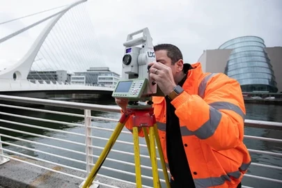
Laser Scanner
Our laser scanning utilises the latest technology and techniques to deliver the best benefits to our clients.
This innovative method is transforming data collection, enabling vast amounts of information to be gathered in even the most congested and complicated environments. Our laser scanning service captures large amounts of data to deliver highly accurate 3D models, crucial for ensuring fully costed and achievable projects.

Talk to our experts

How we carry out our works
Point cloud surveys are captured using Laser Scanners to gather vast amounts of detailed information quickly and accurately. The gathered information can then be used to generate a BIM of the surveyed building or structure. The captured digital ‘Point Cloud’ information contains detail points of all the structures and features within a 360-degree view and this data can be used to generate the geometry of the building and the fixtures and fittings within it.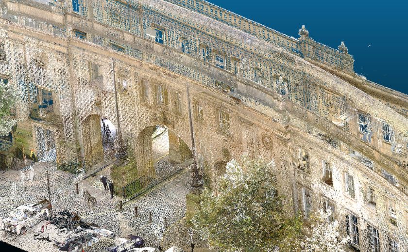
All our Laser Scanners are equipped with in-built High-Definition cameras which are used to capture Hi-resolution images of each scan. These can be captured in colour or greyscale as seen below and create a permanent record of the building or site structure and condition. They can be used to colourise the Point Cloud, prepare video walk-throughs and can also be used for condition assessment purposes.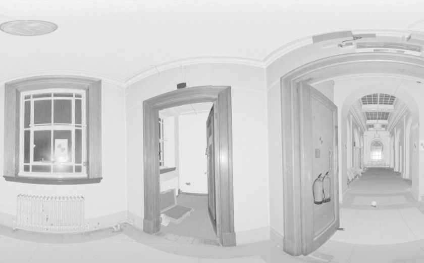
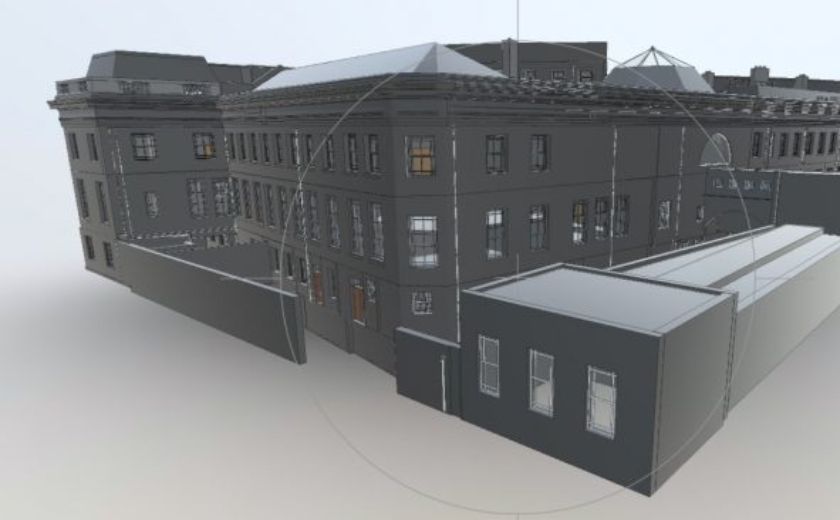
3D Models provide a graphical image or digital representation of a building or structure, providing the user with a clearer understanding of the project. This not only makes visualising the building easier but also allows the user to make alterations and changes to the building and see how these will affect the building visually and structurally.
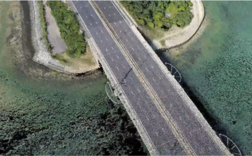
Mobile mapping is carried out by placing laser scanners on to a moving vehicle and driving around a site or along a highway to gather data which is then used to create a point cloud of the survey area. This technique is especially useful where lengths of highway require a topographical survey, but access is restricted by traffic permitting. Traffic Management can be expensive and causes disruption to the traffic network. Mobile Mapping removes the need for Traffic Management because the survey is performed at normal driving speeds and in a fraction of the time. The required detail, such as kerb lines and road furniture are then digitally extracted from the Point Cloud in an office environment to produce a 3D CAD drawing.
Benefits:
- Rapid data capture using the latest technology – Faro S150 and Leica RTC360 Laser Scanners
- Data can be supplied in various formats including 3D Revit, Raw Point Clouds, and High-Definition Photogrammetry
- Enables 3D Modelling in BIM applications including AutoCAD Revit
- High positional accuracy and customisable Level of Detail (LOD) to suit client requirements
- Integration with the latest BIM software for virtual reality visualisation and design
Why choose us?

Quality
Every project undergoes a rigorous Quality Control process managed by qualified professionals.

Service
Dedicated Project Managers with proven industry experience for each client.

Value
Cost-efficient solutions using the latest technology and nationwide surveyor network.

Versatility
One-stop-shop solutions and creative problem-solving for diverse project challenges.

Check out our News & Media

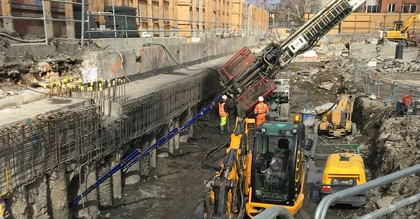
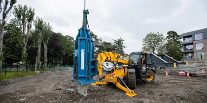
SOCOTEC UK & Ireland Celebrates Double Success at the Ground Engineering Awards
SOCOTEC UK & Ireland Strengthens Infrastructure Capabilities with Strategic Acquisition of LSTC Group
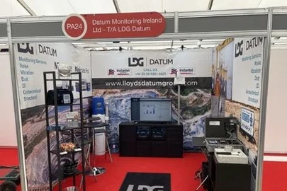
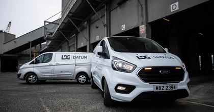
LDG Datum returns to Hillhead show for 2026 with SOCOTEC backing
SOCOTEC nominated for trio of ground engineering excellence awards
Discover the Future of Highway Surveys: Traffic Speed Video & GPR Insights

Utility Coring - Understanding the Process