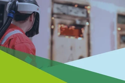
Advanced GS6 Overhead Cable Clearance Survey
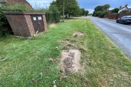
A2 Park Corner Waterproofing
Challenge
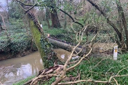
National Highways required a comprehensive GS6 overhead cable clearance assessment for maintenance and construction activities on the A2 dual carriageway near Dartford at the Park Corner bridge structure. High-voltage overhead cables crossing the carriageway posed significant electrical hazards, requiring a mandatory five-metre clearance for all construction activities and equipment.
Conventional GS6 survey methods using Laser Distance Measurers or Total Stations have significant limitations: they cannot definitively identify the lowest point of overhead cables, make no consideration of environmental factors, rely on assumptions from limited measurement points, and produce only basic sketches with minimal detail. The requirement for high vehicles and cranes during planned works made precise clearance data critical for safe project execution.
Project Description & Background
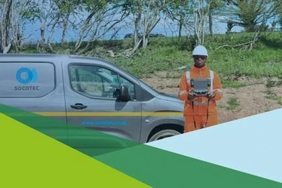
Volker Laser commissioned SOCOTEC Land & Utility Surveys to conduct a GS6 Overhead Cable Clearance Survey for the A2 Park Corner Waterproofing project. The survey which consequently took place, covered six overhead cable crossing points along the A2 dual carriageway.
The survey area itself encompassed high-voltage overhead power lines which crossed the A2 near Dartford, Kent. These crossings presented a variety of clearance heights, with some locations showing significant differences in ground-to-cable distances across the carriageway width.
Solution
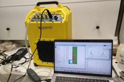
SOCOTEC deployed laser scanning technology to capture comprehensive point cloud data across all six crossing locations, providing a complete three-dimensional representation of the site. This approach enabled precise identification of the lowest cable points through post-processing analysis, eliminated assumptions inherent in traditional methods, and delivered measurements at multiple strategic positions including edge of road, centre, and central reservation.
The survey incorporated environmental factors such as temperature and wind speed documentation, recognising that cables sag lower in summer and rise higher in winter. The analysis revealed significant variations in clearance across the carriageway, with differences of up to 8 metres between measurement points at some crossings.
SOCOTEC delivered a comprehensive 23-page report including detailed tables, colour-coded highlighting of lowest ground clearances, top-view and section-view visualisations of laser scan point cloud data, site photographs, and clear identification of additional lower-level cables at specific sites.
Conclusion
SOCOTEC successfully provided National Highways designers with precise, reliable data for safe planning of maintenance and construction activities.
The laser scanning approach represented a significant advancement over standard UK industry practice, offering absolute certainty in identifying the lowest cable points, comprehensive environmental data, and faster on-site survey execution.
The success of this project has led to continued work, with future GS6 survey commissions scheduled, demonstrating the value clients place on SOCOTEC's accurate, cost-effective, and time-efficient approach to overhead cable clearance assessment.
Want to find out more about...
Discover our latest News & Media
Fire Resistance: Everything you wanted to know but were afraid to ask

Nature Positive Real Estate: Creating Value through Biodiversity
UKTC opens multi-million-pound state-of-the-art second firehall

Infinito Delicias. Building low-carbon spaces for communities to thrive
Mass Data Capture in Modern Surveying