Need some advice?
Leave your details and we will get in touch.
I want to be contacted by an expert1 /

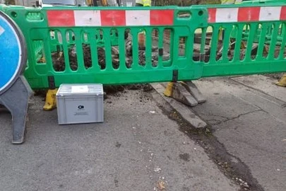
For those who don’t know, a borehole is a narrow shaft bored in the ground, drilled either vertically or occasionally on an angle.

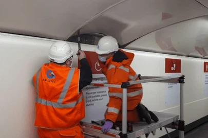
At SOCOTEC, our geotechnical division offers a wide range of drilling methods to drill boreholes in both soils and rock. We can also undertake a wide range of in situ testing followed by subsequent laboratory-based testing to develop soil and rock parameters for design purposes. In this month’s blog, Lynne Llewellyn, technical manager, Infrastructure Services, provides a step-by-step guide as to what borehole drilling entails and outlines the borehole records that we have access to.
Now before you immediately dismiss boreholes altogether as uninteresting and seemingly dull, read on, I dare you. Borehole drilling has a rather colourful history stretching all the way back to the Han Dynasty in China (202 BC – 220 AD) whereby deep borehole drilling was used for mining purposes to depths of 2,000ft.
So what is a borehole? The British Geological Survey (BGS) defines a borehole as, “any hole drilled or dug into the sub-surface for the purpose of extracting or investigating the material at that particular point. Commonly cylindrical, the length of the hole will always be several orders of magnitude greater than its width or diameter”. Boreholes can be drilled onshore or offshore, to any depth and can include auger holes, shafts, pits, shot-holes, wells and vibrocores.
The main purposes for drilling boreholes include:
Borehole drilling gives an indication of the geological conditions beneath a site. Drilling boreholes can define the boundaries between the superficial deposits and the bedrock and ultimately leads to assisting with the design of proposed infrastructure and developments. In situ and laboratory testing of the samples obtained during the drilling process can help us to understand the engineering and chemical properties of the soils or rock. Samples can also be tested for any potential contamination.
At SOCOTEC, we provide a range of specialist in situ testing which is conducted within the boreholes measuring a wide range of geotechnical parameters, either as a standalone service or part of a wider site investigation. Types of testing include:
As well as being able to provide the complete package of geotechnical site investigation and consultancy services, we can also offer our clients copies of our archival records dating back over 60 years. Our archive system Findloc, holds complete copies of reports issued by SOCOTEC and formerly Exploration Associates and Soil Mechanics. The records range from single borehole log to complete reports which include the borehole logs and laboratory information.
Findloc was established by Soil Mechanics and has been added to ever since, to ensure that SOCOTEC has the capability to search their library for copies of archived reports. It is a central library which holds the records from all our offices located throughout the UK. Searching for data through Findloc can be performed using a report number, job title, national grid reference or even a keyword. The report format is usually a PDF document with associated drawings; older records have been scanned or are available as microfiches. With permission from the original client, this data can be made available for a small fee.
Access to this information can allow our clients to assess the anticipated ground conditions of the site during the preliminary scoping phases of a new investigation. With insight into previous ground investigation the appropriate investigation technique can be applied and potentially the number of boreholes reduced, as the information on the site is already available, which can ultimately save time and costs.
The ‘GeoIndex’ page on the British Geological Society (BGS) website can also be used to locate borehole records that covering the UK. The BGS hold over 850,000 borehole records dating back over the last 100 years. If you have used the ‘GeoIndex’, you may have noticed that some of these records are marked as ‘confidential’. It is possible that SOCOTEC may have supplied that particular record to the BGS and if this is the case, we may be able to release the record to you for your reference (with written permission of the originator).