
Topographical Survey Services from Contours to Calculations
Expert Topographical Surveying: Transforming Contours into Precise Calculations
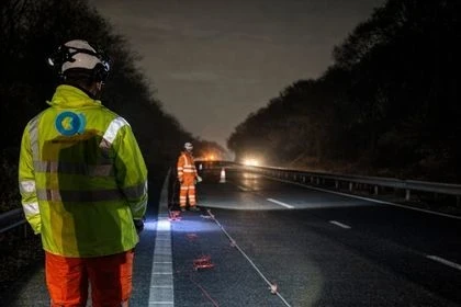
When it comes to engineering and construction projects, having a solid understanding of the site's contours, topography, and features is absolutely crucial. It sets the foundation for success, and that's where topographical survey comes into play. They are the starting point for almost every construction project.
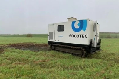
We take pride in our ability to conduct topographic surveys with utmost precision. We've got the skills and knowledge required to gather detailed information about the site and the project you're working on. Our surveys help us identify and map ground contours, take note of natural and manmade features on the land, and even provide information about the location, size, and height of landmarks. Plus, we can also calculate volumes for earthworks planning and monitoring.
Benefits of topographical surveys:
- give engineers detailed information about the site and project they are working on
- results of a topographical survey can aid designers, architects, planners and engineers in the early stages of a project’s design and planning
- demonstrates how land has altered over time for redevelopment purposes
- shows details regarding the property, land features or physical boundaries
Understanding Land Survey Topography: Methods, Importance & Applications
Importance of using Topographic survey:
Topographical surveys offer a wealth of advantages to various stakeholders involved in construction and development projects.
Risk Reduction: By providing detailed terrain data, they help in identifying potential challenges that can arise during the construction process. This includes the analysis of natural and man-made features of the site, which aids in minimizing future complications.
Precision Planning: These surveys offer accurate measurements of the site, making it possible to plan and design projects with an added layer of precision.
Resource Optimization: With a clear understanding of the site's features, resources can be allocated and used more effectively, thereby saving time and reducing costs.
Environmental Impact Assessment: Topographical surveys can also help in evaluating potential environmental consequences, giving insights into the site's natural features and their probable effects on the proposed development.
Customized Approach: Each survey is tailored to the specific needs of a project, allowing for a more personalized and efficient planning process.
We provide the following surveying services:
- Topographical surveys
- 3D laser scanning
- GPS techniques
- Measured building surveys
- Building elevation surveys
- Road surveys
- Levelling
- Survey control networks
- BIM compliant 3D data visualisation
- Setting out
- CCTV surveys
- Settlement monitoring
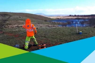
- Ground investigation location surveys
- Stock pile surveys
- Volume calculations

Talk to our experts
Want to find out more about SOCOTEC's Site Investigation services?
You might also be interested in:
SOCOTEC UK & Ireland delivers sessions to local school to mark National Apprenticeship Week

Promotion marks next growth stage for LDG Datum – A SOCOTEC Company
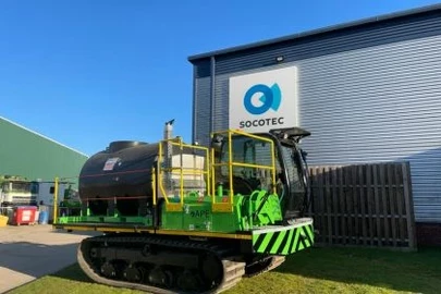
SOCOTEC UK Takes Delivery of Project Atlas – A Game-Changer for Geotechnical Operations
An Introduction to Environmental and Structural Geophysical Surveys

The future of upskilling in Ground Investigation


SOCOTEC UK’s Geotechnical Engineer announced this year’s winner for AGS Geotechnical Working Group Award 2023
Talk to our experts
