Underground Utility Surveys
Underground Utility Surveys provide critical information about existing buried services for design and construction projects.
With increasing regulations in the UK, including recent prosecutions under the New Road and Streetworks Act, it's essential to take appropriate action regarding underground services before, during, and after excavation. Our comprehensive surveys ensure both safety and cost control by accurately mapping underground utilities.
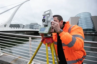
SOCOTEC’s Utility Survey teams specialise in the accurate detection and location of the route, depth and type of underground utilities through a combination approach including the use of Electro-Magnetic and GPR (Ground Penetrating Radar) equipment, including Mobile Mapping.
All Utility services provided by SOCOTEC follow the recommendations laid down by the HSE's HSG47 'Avoiding danger from underground services' and PAS128:2022.
SOCOTEC's innovative and specialist utility surveying services provide cost effective and time saving solutions to each project. By combining this with our Land Surveying, Measured Building Surveying and Asset surveying departments we ensure that our clients enjoy many savings:
- Lower project costs by supplying them with accurate plans
- Fewer service diversions, facilitated by accurate route and project planning
- Reduced number of accidental utility strikes
- Fewer delays resulting from hidden or unrecorded services
- Lower Health & Safety and NRASWA compliance costs
- A one-call project service for surveying all the required elements
- Permanent records which can be easily updated

Talk to our experts

We offer a range of utility location and mapping services tailored to meet your specific project needs
We use three key detection techniques in the location of underground services and sewers:
Our Survey Methods:

Electro-Magnetic (EM)
Electromagnetic detection will be used on site initially. This technique works on the basis that a current flowing along a conductor creates a magnetic field. When a receiver is swept across the field it will detect a signal. In principle, the centre line of the buried service is where the response from the field is shown at its maximum strength on the receiver. This technique makes use of both active and passive radiated energy to detect buried services. An active signal is one that has been artificially generated by the transmitter by either direct connection or induction. A passive signal relates to the naturally transmitted signal on a buried conductor and is detected by observing the 50Hz energy or reradiated VLF radio energy present.
Using electromagnetic detection, the depth is measured to the centre of the pipe and is typically accurate to +/- 10% of the depth.

Ground Probing Radar (GPR)
The main disadvantage of electromagnetic location is the inability to locate non-metallic services, such as plastic pipes. We therefore use ground penetrating radar (GPR) techniques to enhance overall coverage of the survey information. GPR works by transmitting electromagnetic energy into the ground. Echoes are returned from the different interfaces between materials in the ground. This return signal is received by the antenna which then passes it to digital signal processing hardware for manipulation. The presence of metal generates a major change in electrical properties. However, the technology is also sensitive to other materials such as plastic and voids. Using GPR, underground pipes, including those made from plastic, can be detected if they have a diameter equal to or more than 10% of the depth. For example, a 100mm pipe buried at a depth of 1 metre, would normally be detectable.
GPR will normally be carried out using orthogonal grids. The grid spacing recommended on your project, will depend upon the site conditions, the expected density of underground utilities and upon the level of PAS128 survey you require. Processing GPR data can either be carried out in real-time or after the event. The requirement for processing will again depend upon the level of PAS128 your survey specification is looking to achieve. Our Project Managers can talk you through GPR grid spacing and processing requirements in relation to PAS128.
Using GPR, the depth is measured to the top of the pipe and is typically accurate to +/- 10% of the depth.

Statutory Undertakers Records
To meet the requirements of a PAS128 survey, we require that the Statutory Undertakers Records for the survey area are made available to us before we commence the survey. We are happy to purchase records on your behalf and a cost for this service will be provided upon request. In planning timescales for the commencement of your survey, you should be aware that some record information can take up to two weeks to be made available by utility companies.
Let's Talk
To learn more about our Underground Utility Surveys or to request a quote, please contact our expert team

Check out our News & Media

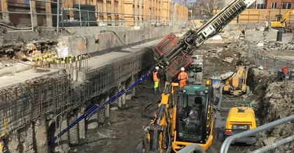
SOCOTEC UK & Ireland Celebrates Double Success at the Ground Engineering Awards
SOCOTEC UK & Ireland Strengthens Infrastructure Capabilities with Strategic Acquisition of LSTC Group
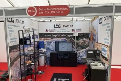
LDG Datum returns to Hillhead show for 2026 with SOCOTEC backing
SOCOTEC nominated for trio of ground engineering excellence awards

Discover the Future of Highway Surveys: Traffic Speed Video & GPR Insights

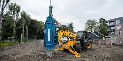
Utility Coring - Understanding the Process