Need some advice?
Leave your details and we will get in touch.
I want to be contacted by an expert
1 /

Modern mass data capture techniques and equipment are changing the way land surveys are carried out, moving away from the traditional topographical surveys.

Mass data capture is any data collection technique that collects a large amount of data in a short amount of time. SOCOTEC UK & Ireland employs terrestrial laser scanning, mobile mapping, and aerial drone LiDAR to carry out surveys for land, utility, and infrastructure environments.
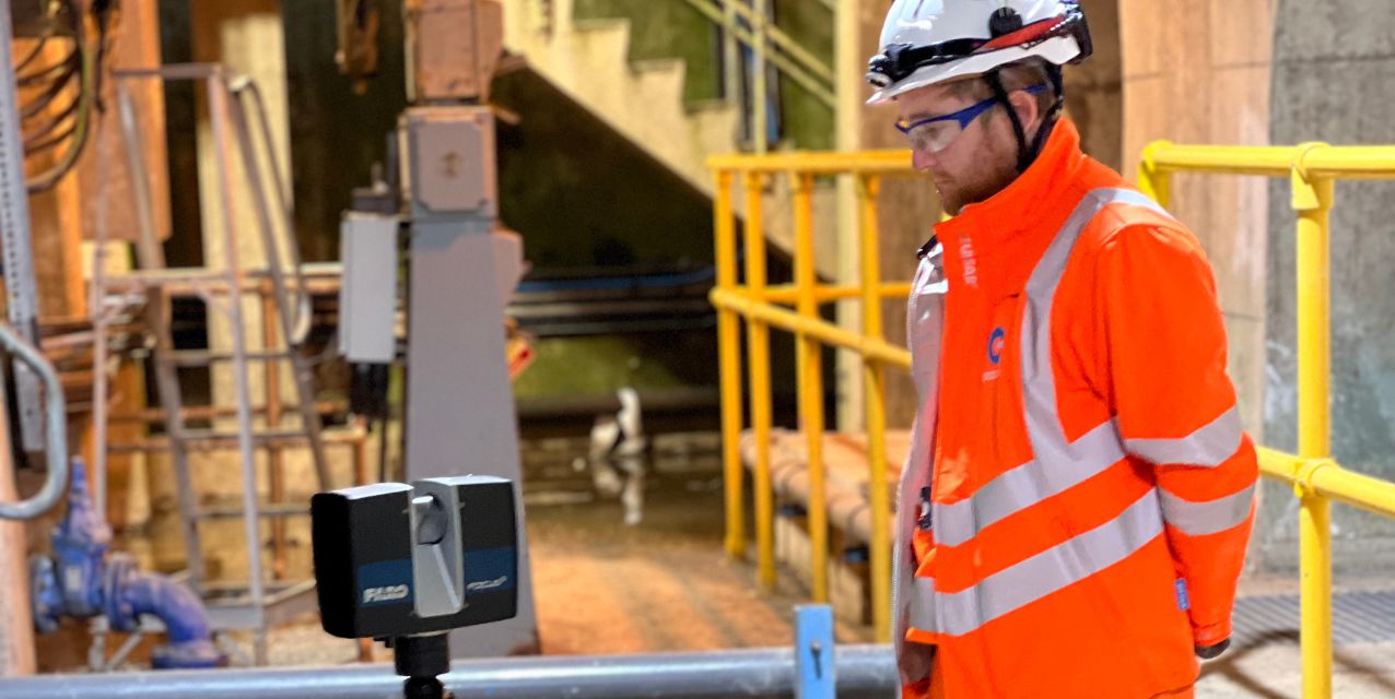
Laser scanning for land surveys involves using a 3D laser scanner – a non-contact device – to digitally capture the exact shape and dimensions of physical objects or environments. By projecting laser beams and measuring distances, the scanner calculates millions of precise 3D coordinates per second, creating highly accurate digital replicas, known as point clouds, for 3D data extraction.
The data collected during point cloud surveys with laser scanners can be used to generate building information modelling (BIM) of structures and buildings, 3D models of infrastructure, and detailed topographical surveys. It achieves a high level of capture and detail using a 360-degree horizontal rotation of the scanner head, as well as a 270-degree vertical rotation at each scan position.
Laser scanning can help produce floor plans and elevations using line work data extraction from the point cloud and allows for the review of chambers without ever needing to enter them to produce STC25 manhole information and detailed 3D models.
Mobile mapping consists of a surveying system with a mounted laser scanner onto a moving vehicle to capture highly accurate 3D data of the surrounding environment. This uses global navigation satellite system (GNSS) and inertial measurement units (IMU) to track tilt, speed, orientation, and location. As the vehicle is in motion, mobile mapping is useful for sites impacted by traffic such as highways as it removes the need for traffic management.
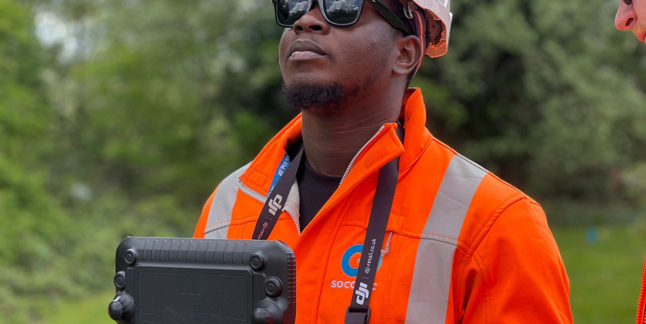
Aerial drone surveying is the process of using unmanned aerial vehicles (UAVs) equipped with sensors, such as high-resolution cameras or LiDAR, to capture topographical, geographical, and spatial data of an area.
Aerial LiDAR surveys can provide a complete digital terrain model of a landscape due to its ability to penetrate through vegetation, as opposed to photogrammetry, which allows for the collection of high-detailed imagery. Combining aerial LiDAR and aerial photogrammetry with the same drone can achieve the benefits of both in a faster timeframe.

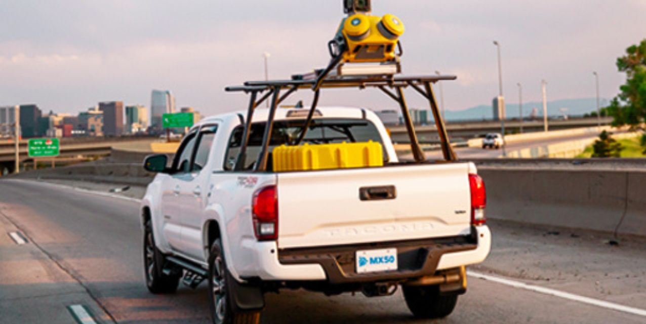
Utilising mass data capture techniques drastically improves efficiency when carrying out surveys by providing a wider collection of data at a quicker rate than traditional topographical surveys. It also requires less people and tools on site during the surveying which reduces disruption to wildlife and vegetation. The reduced number of surveyors is also a safety benefit due to less people needed in potentially high-risk environments.
“By combining in-house techniques such as mobile mapping, terrestrial laser scanning, and aerial LiDAR/photogrammetry, SOCOTEC are able to collect large volumes of data quicker and safer than we ever have before.
When combined with traditional topographical survey techniques, our ability to deliver detailed, accurate topographical surveys and 3D models is next level, and sets us apart from competitors due to our established inventory of mass data capture technologies, investment in training and the wealth of survey experience within our large team.”
For more information regarding SOCOTEC’s mass data capture techniques for land surveys, please contact us.