Setting Out for Construction -
Engineering Surveyor Services
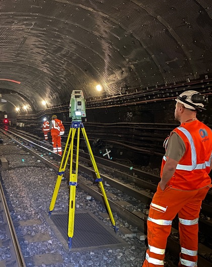
The specialised field of precise setting out requires an experienced team of qualified engineering surveyors using high specification surveying equipment in order to achieve the necessary accuracy.
Typical setting out required for construction projects includes the establishment of main grid lines for contractors' work. As buildings become more complex in design it is vital that all disciplines have confidence that their work will interface correctly.
An increasing use of pre-fabrication techniques has also meant that surveyors have to achieve ever tighter tolerances in the positioning of structures and their components.
Experience
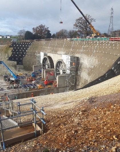
We have undertaken vast amounts of setting out on many projects of varying size, complexity and location. We are capable of working anywhere in the UK, or indeed the World, and are renowned at being efficient in meeting deadlines and achieving the high accuracy required in today's work place. We believe it essential to be flexible in our approach and liaise closely with clients to fully understand their requirements.
Some of the recent projects on which we have undertaken precise setting out include: the development of Stansted Airport, The Heathrow Express Project, Churchill Square Shopping Centre, Brighton and the redevelopment of Paddington Station.
Equipment and Methods
All of our surveyors are extremely experienced in the construction and survey industry. For completing works we have an extensive resource of high precision survey equipment, which is regularly tested and calibrated. Our experience has enabled us to develop working techniques that are both effective and efficient. Methods adopted include numerous independent checks.
Another service that we can provide is the supply of as-built information once setting out has been completed. On board data logging enables quick and error free transfer of information into our surveying software. Our surveyors are all competent in the use of AutoCAD R14, which means results of surveys can be quickly turned around and presented in a digital format of specific use to design engineers and architects.